Visitors on Bonaire are always eager to find new areas of the island to explore, and now that is even easier with the driving, hiking, and cycling trails of the Bará di Karta area.
New options for visitors in the area of Bará di Karta hill.
Covering a large swath of the eastern coast in the middle of the island, the marked trails offer highlights of nature, culture, and just some fun exploration. The area is named after a hill called Bará di Karta.
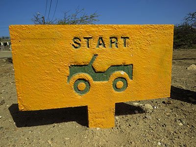
Driving Trails of Bará di Karta.
The driving trail is about 15 kilometers (9.5 miles) long and, if driven non-stop at a slow speed (and a slow speed is mandatory), it will take approximately 1.5 hours. Along the way, signs will point out many of the area’s attributes, as well as some of the attractions which are available (although advance reservations are suggested for visiting some of the local attractions).
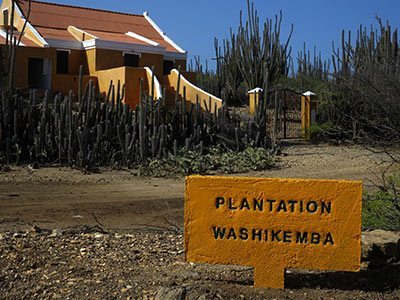
The historic landhouse at Plantation Washikemba.
After beginning the driving trail, one of the first locations one will encounter is Plantation Washikemba, one of the larger plantations on Bonaire and which was primarily used for the growing and production of aloe vera. Rumors still persist today that the grand old home is haunted, but the ghost only appears to women.
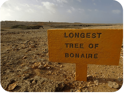
The longest tree on Bonaire–28 meters/92 feet!
Another interesting item to view is the longest tree on Bonaire which has a horizontal length of 28 meters (92 feet), shaped over the years by Bonaire’s strong prevailing easterly winds. Along the trail, one will see Boka Washikemba (the bay of Washikemba), as well as boulders that were transported inland during past tsunamis, local kunukus, and, of course, lots of cacti! The trail winds its way along Bonaire’s eastern coastline, offering great photo opportunities of the waves crashing in on the island’s wet ‘n’ wild coast.
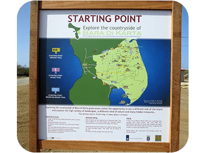
How to find the starting point of the Bará di Karta trails.
To find the beginning of the trails, follow the signs from Kaya Korona and turn east on Kaminda Lagun. Before you reach the eastern coast, watch for a turn-off on the right side onto a dirt road. There is a large sign there outlining the trails and then simply follow the signs for your desired trail: Yellow for the driving trail, blue for the bike trail, and pinkish-red for the hiking trails.
Special note: As of September 20th, 2017, the Washikemba hiking trail has been closed at the request of the Space and Development Board. The route is near the shooting range of the police and the Marechaussee (Royal Police). This practice site is being used more and more, and, for the safety of hikers, it has been decided to cancel the route.
Fortunately, the Red Hill Hiking Trail is still open and available for hiking. This trail starts past the Plantation Washikemba on the driving route of Bará di Karta. Climbing the Bará di Karta is also still open for hiking.


